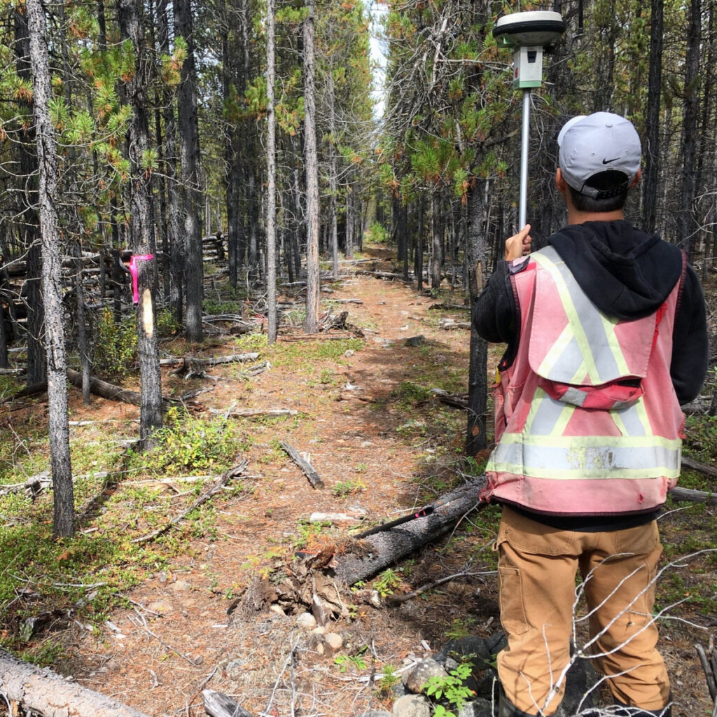
Boundary Locations
Land surveyors are caretakes of boundaries. We research historical records and perform precise measurements of land in order to define legal property boundaries.
A Land Surveyor is often employed to determine property boundaries for fencing, to resolve boundaries disputes, or assisting landowners in gaining clarity about their property limits.
Our services are sought for various purposes, including determining boundaries for property lines, easements, roads, covenants, right-of-ways, subdivisions, and leases.
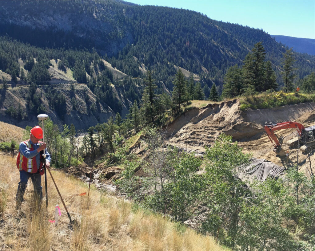
Construction Surveys
During the preliminary stages of an engineering or development project a land surveyor is relied upon to prepare topographic plans for design purposes. Once the designs are finalized, a land surveyor is responsible for the layout of buildings, roads, utilities, and other key elements.
E&D specializes in the following areas:
- Topographic Site Plans
- Volumetric Surveys and Reports
- Construction layout and as-builts
- Quality Control
- Road & Utility layout
- Mining
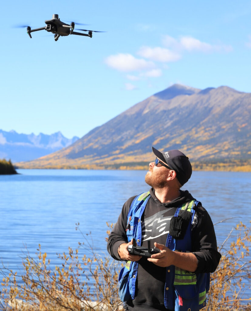
Drone Surveying
Drones are powerful tools in the surveying industry, particularly for large projects areas or challenging terrains. E&D holds a advance pilot license from Transport Canada, authorizing the execution of aerial surveys using Drone (UAV) technology. Drones are the ideal tool to provide highly detailed topographic site plans, high-resolution aerial imagery, and precise stockpile surveys.
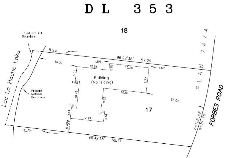
Building Location Certificate
A BLC is an important document for a real estate transaction. A BLC plan will show the precise location of buildings and other structures on a property. A BLC will also map the location of any charges on the property – right-of-ways, easements or covenants. A BLC may also be required by a building inspector to ensure that new construction adhered to zoning bylaws.
Strata
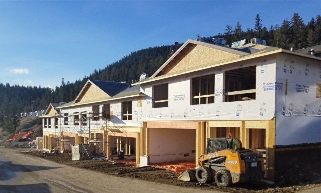
A strata development can be building(s) or land, divided into distinct units, called strata lots. Building strata include duplexes, townhouses, and condominiums that are defined by walls, floors, and ceilings. Bare land strata or “strata subdivisions”, are similar to conventional subdivisions but include common, shared property, such as roads, clubhouses, parks, or powerlines that require the oversight of a Strata Corporation.
Consulting/Planning
Land Development is highly regulated, and securing approval is a complex journey. As consulting land surveyors, we guide our clients through this complicated process by:
- preparing the applications
- liaising with approving agencies and local government
- connecting our clients with other professionals required to complete the necessary conditions
- conducting the legal survey and plan
- meeting attendance
E&D expertise extends to a range of applications, including:
- Rezoning
- Subdivision
- Agricultural Land Commission
- Crown Grants or Crown Leases
- Development Variance Permits
Need help determining what type of survey you require?
Give us a call!
