Frequently Asked Questions
Click on the question to reveal the answer.
Many factors can affect the price of a survey including:
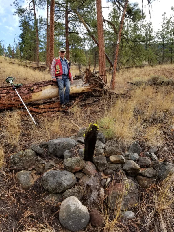
1) Date of original survey. The older the survey the more time humans have had to disturb or destroy property corners. Additionally, many property corners predating the 1960s were wood posts. Most of these posts can no longer be found and need to be replaced with modern monuments.
2) Development of property. Any improvements to boundaries “may” increase the likelihood that monuments have been damaged or removed. Land owners of urban properties are more likely to develop their boundaries with retaining walls, driveways, fences etc…. or have their boundaries impacted by infrastructure projects (i.e. underground service upgrades). In rural areas, land owners may use heavy equipment to clear their boundaries.
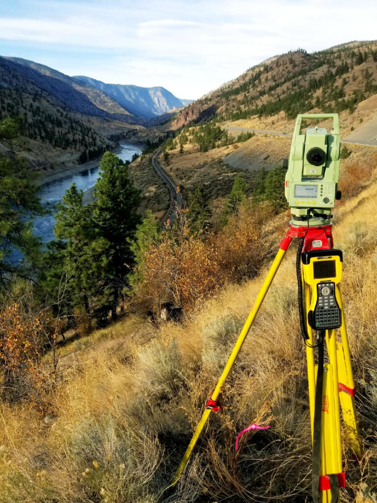
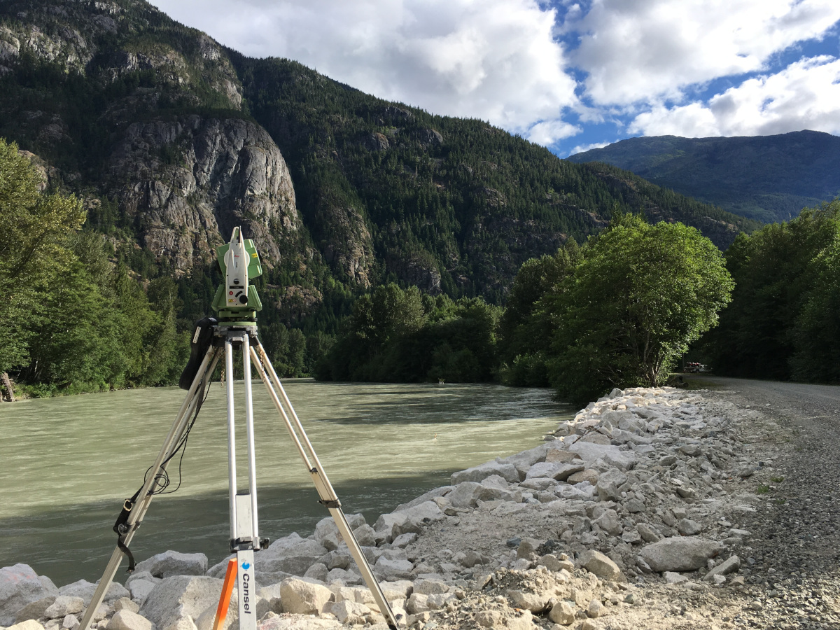
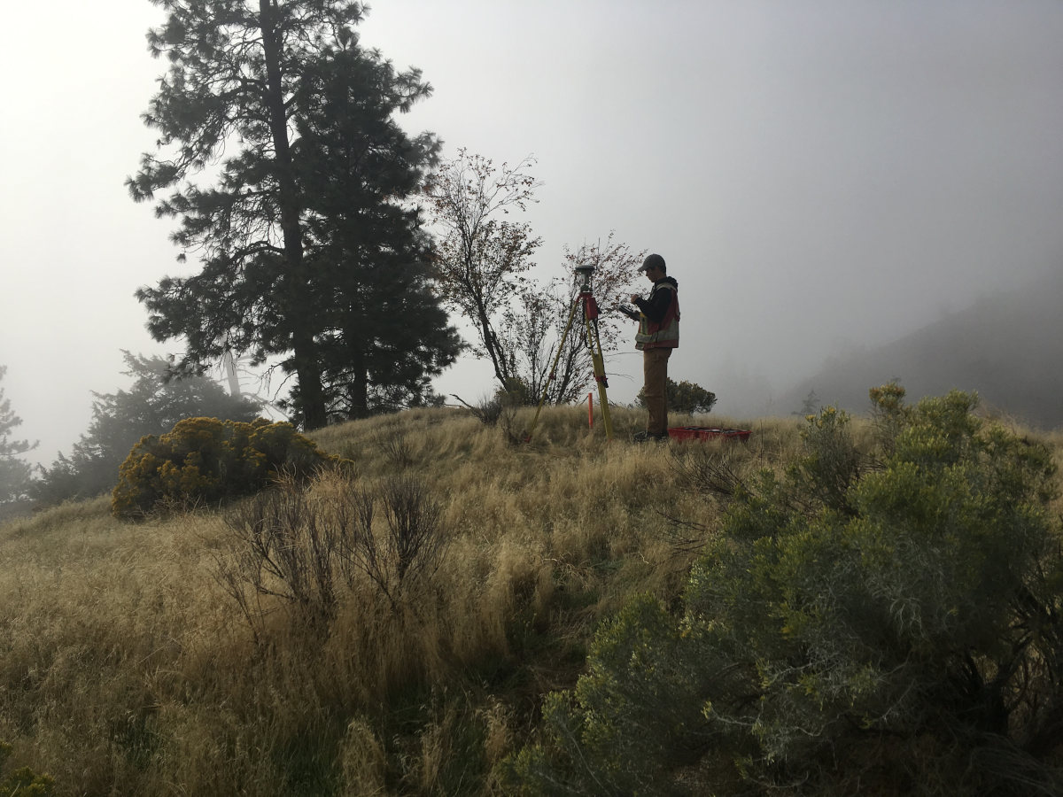
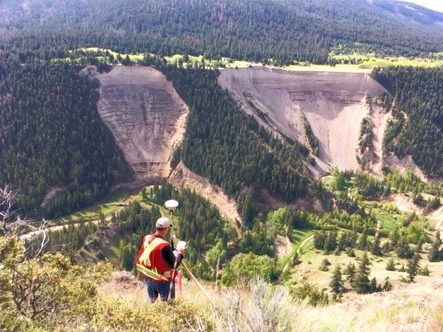
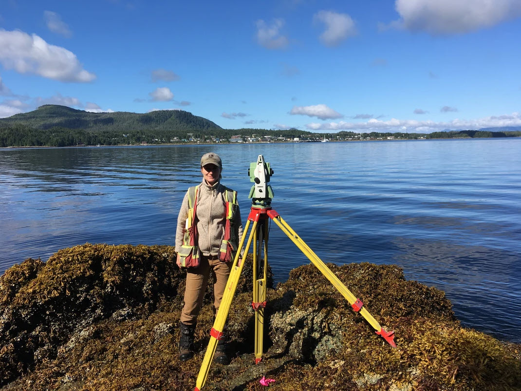
3) Site conditions. Property that has thick tree canopy, steep terrain, limited access, or creek crossings all present challenges to the efficiency of the survey.
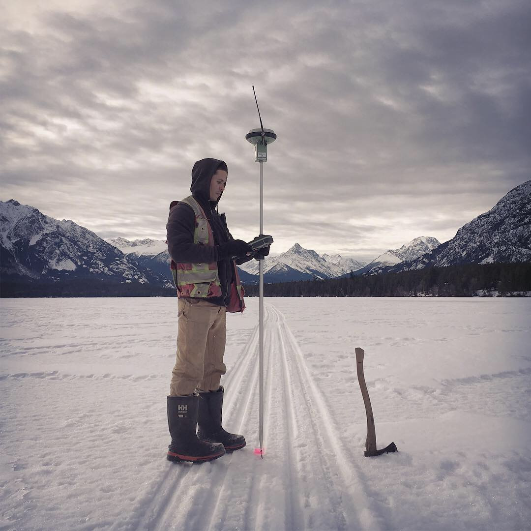
4) Time of year. Choosing to order a survey where there is two feet of snow and frozen ground or during heavy rain will increase the time to complete a survey.
5) Logistical. Is the project remote and require hours of travel? Are accommodations and meals required?
If a property corner is missing and a land owner would like it replaced, a BC Land Surveyor will have to perform a legal survey. A BC Land Surveyor will need to assess additional property corners from neighboring boundaries and other evidence in order to accurately re-establish a lost or destroyed property corner. Any time a new property pin is placed, a BC Land Surveyor is required by law to prepare a Plan of Survey that is filed in the provincial Land Title Office.
Two types of legal plans can be prepared:
a) Posting Plan: plan is filed in the Land Title Office, and is not signed by owners. Recommended for when only certain corners of the property needed to be surveyed or a legal survey has recently done on the property.
b) Reference Plan: plan is examined by the Registrar of Land titles and signed by owner and charge holders. Recommended for complex boundary issues where present day measurements conflict with the registered plan, the property is very old, or there is a natural boundary (i.e. lake, creek, or river).
A land surveyor can provide information to help you decide.
A boundary isn’t just your boundary, it’s your neighbor’s too. A BC Land Surveyor has a duty to the public to ensure that boundaries are defined impartially. We have the legal obligation to define boundaries based on monuments found or placed in the ground.
Under the Land Surveys Act boundaries are not defined by GPS coordinates, but by the physical monuments posted in the ground. A GPS coordinate may be used as a locating tool to find the corners, but the property pins in the ground are the true boundary.
No legal plans prior to 2014 required georeferecing with GPS. Digitized mapping found on websites are often not accurate.
A BLC is a certified survey plan that verifies the placement of buildings, or other improvements, easements, rights-of-way or covenants relative to the property boundaries. Municipal or regional building inspectors require a BLC as proof that there are no zoning or encroachment problems. Financial institutions can use a BLC as protection to a permit holder or investor.
Significant financial investments should not be made without complete disclosure of any potential liabilities and inherent risks. Consider requesting a BLC as part of the purchase agreement. A land survey will identify any possible encroachments, misplaced fence lines, or easement and right-of-way agreements. As experienced land surveyors, we have had countless clients that were shocked to discover that their well or garage was on their neighbor’s property, that they did not have legal access by way of an easement, or that their fences were built metres away from the actual legal boundary.
Firstly, a land survey is required to confirm the encroachment. If the encroachment exists and it cannot be removed (i.e. it has significant value and would be costly to remove), then one option would involve a subdivision (boundary adjustment) to purchase a part of your neighbor’s land to contain the encroachment. This can be a lengthy and frustrating process.
Another option would be to approach your neighbor for an easement. An easement is a nonpossessory property interest that allows the holder to use property that they do not own. If your neighbor is agreeable to the easement, a legal survey plan is prepared to show the extents of the easement. A lawyer will then prepare the legal documents associated with the terms of the easement and register the interest on title.
As experts in property information and development, we frequently work as authorized agents on behalf our clients, guiding them through the complex subdivision process. If you are interested in subdividing, call our office and request a consultation. A Land Surveyor will review your property, provide professional advice on the feasibility of the project, and review the entire subdivision process with you.
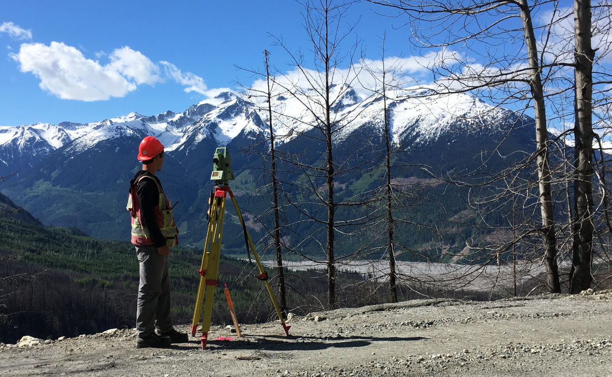
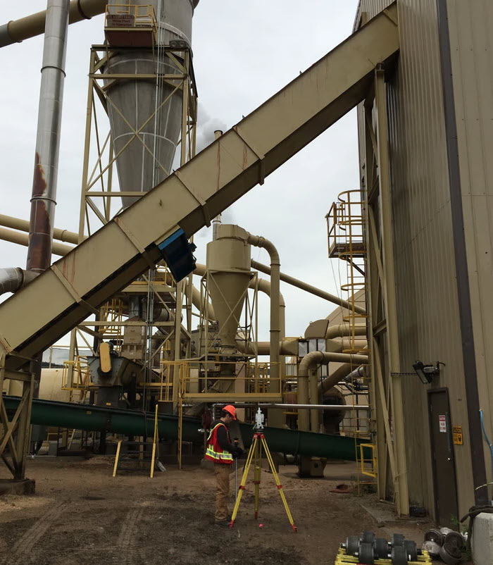
Survey technologists and technicians are often seen on construction projects for various industries including mining, oil and gas, or engineering. Many land surveyors perform construction work as part of their practice as well; however, when it comes to establishing and re-establishing property boundaries, one must be a licensed professional land surveyor. Under the BC Land Surveyors Act only a British Columbia Land Surveyor (BCLS) can determine property boundaries or the location of improvements or features relative to a property boundary within the province of British Columbia.
If possible, a fence should be located on the boundary, enabling each neighbor to own half of the fence, thus sharing in maintenance costs equally. If you want to be the sole owner of the fence, then build the fence completely on your side and abutting the property boundary. However, a new owner may assume they own up to the centre of the fence which could lead to potential issues if not disclosed.
Often a client requests that we survey their property but one or more of their property corners cannot be found. In order to replace that lost monument, we have to survey neighboring property corners in order to re-establish the position of the lost monument. Under Section 59.1 of the Land Surveyors Act, a licensed land surveyor is “permitted to pass over any land without hindrance from any person” so longs as they are engaged in the practice of land surveying. Before entering someone’s property, we will knock on the door. If no one is home, we typically leave a note card that includes our business contact information.