Projects
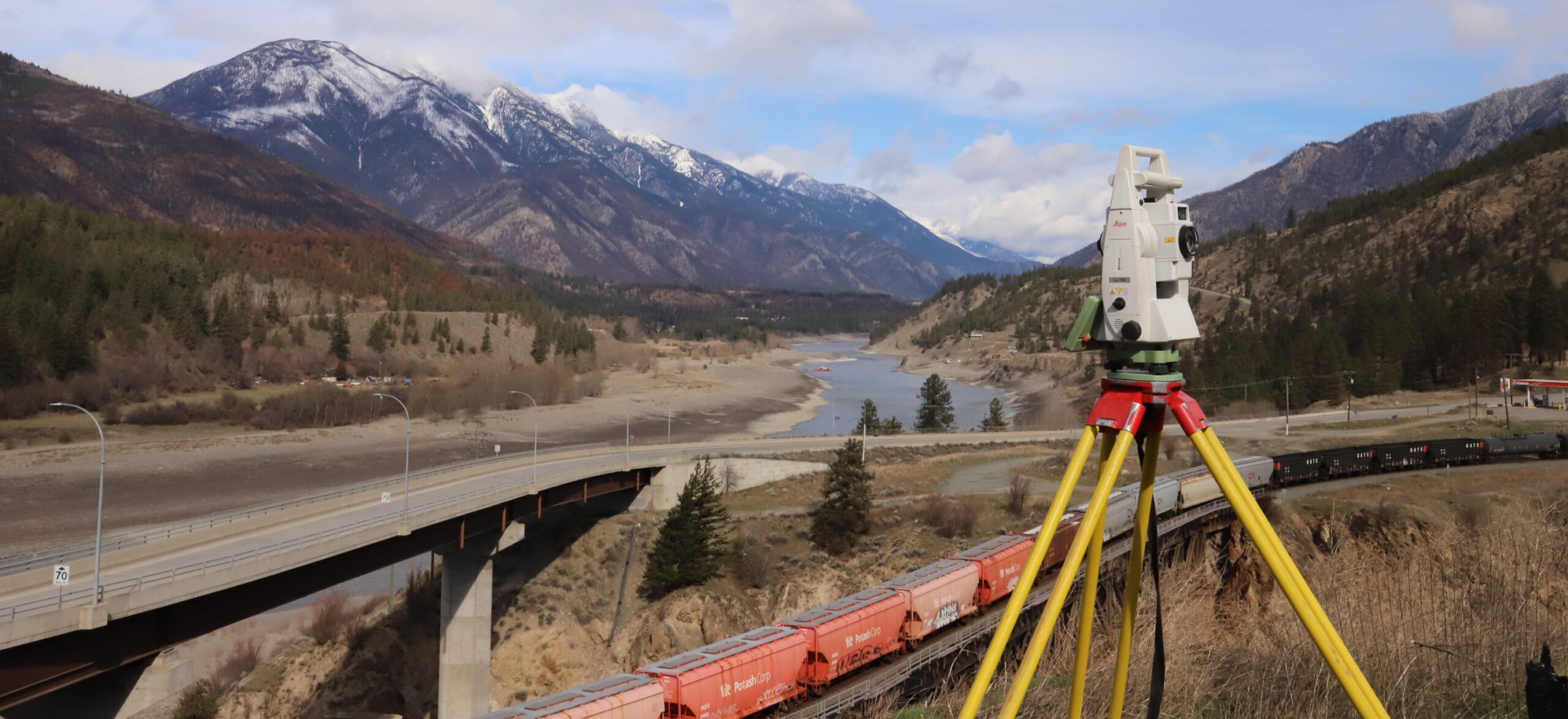
Lytton Rebuild Surveys
In 2021, the Village of Lytton enlisted the services of E&D in the aftermath of the devastating fire that destroyed much of the community. The initial phase of the project focused on marking existing property pins, aiming to safeguard and preserve them, while also establishing several control monuments. Following completion of demolition in 2023, E&D identified all surviving property pins. These pins became the foundation for re-establishing the entire village’s parcel fabric, providing a crucial framework for the community’s rebuilding efforts.
In addition, E&D was also engaged by the Lytton First Nation to repair the boundaries post-demolition on their fire affected Reserves, specifically IR 17 and IR 18. E&D continues to play an active role in supporting the ongoing rebuilding efforts within the community.
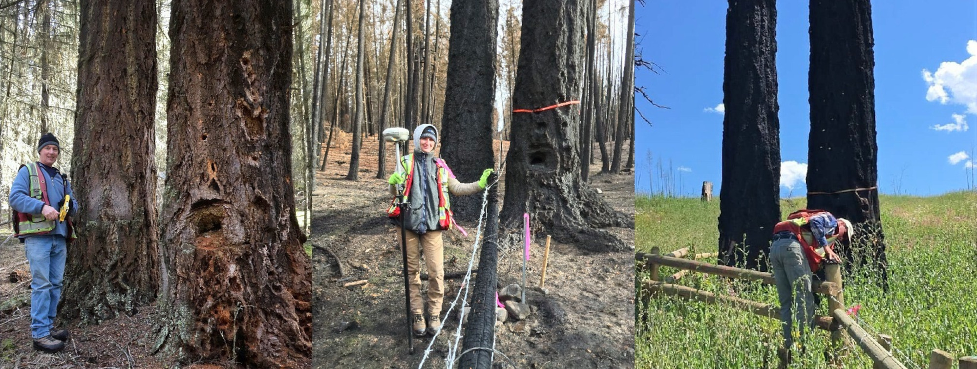
Williams Lake First Nation Treaty Settlement Survey
In 2017, Exton and Dodge was awarded the contract to survey a large 1193 hectare parcel. The survey required that over 16 kilometers of boundary be surveyed and cut-and-blazed by fallers. However, before the survey could begin, a devastating wildfire scorched over 80 percent of the proposed parcel. A danger tree assessment crew was then required to work ahead of the survey crew, falling any potential threats while the surveyors carefully assessed the remains of historic survey monuments dating back to the 1880s. E&D has also performed Treaty Settlement Surveys for the Xatsull First Nation, Canim Lake Band, and Stswecem’c Xgat’tem First Nation.
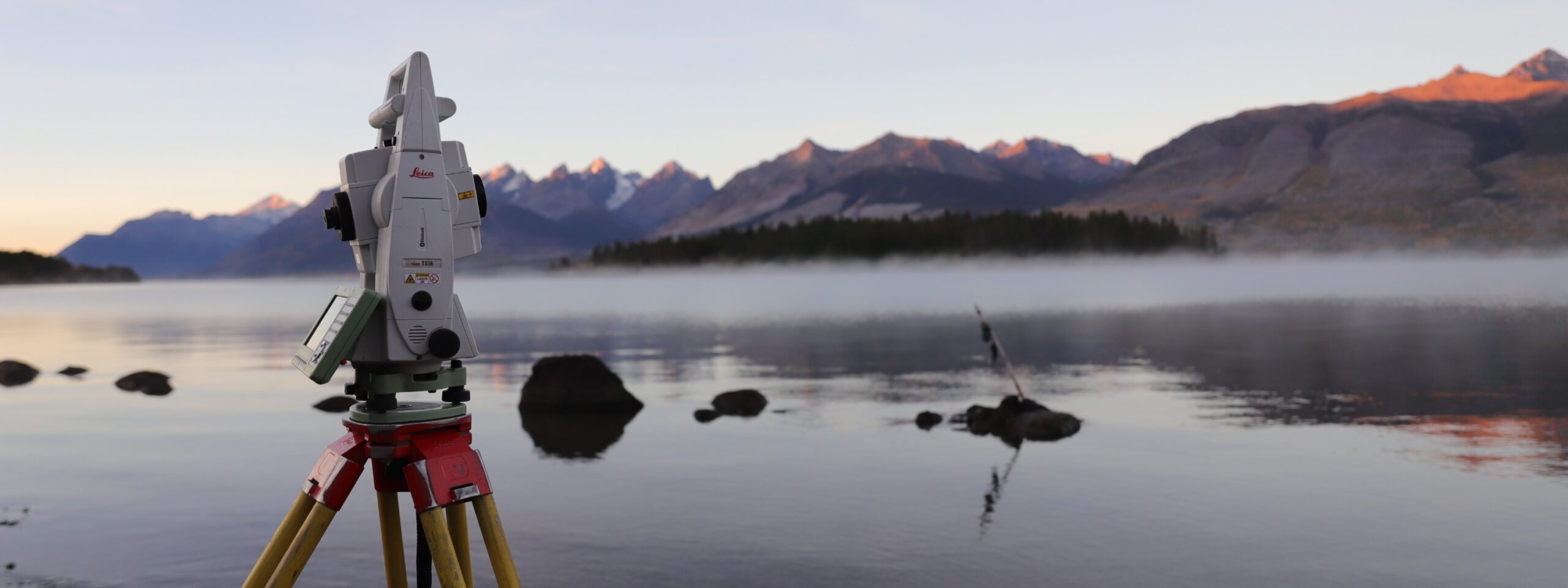
Xeni Gwet’in Land Code Surveys
In 2023, Exton and Dodge was granted contracts to conduct surveys over four Xeni Gwet’in First Nation Reserves. The purpose of the surveys was to support a legal description of lands being transferred to the Xeni Gwet’in First Nation. This transfer is par of the ongoing Land Code Process, empowering the community with greater autonomy in land management decisions. The surveys involved the re-establishment of historical Reserve boundaries as well as the creation of parcels within each Reserve to contain historical public roads through the Reserves. E&D also played a pivotal role in conducting surveys over 19 Reserves for Lytton First Nation during their land code process.
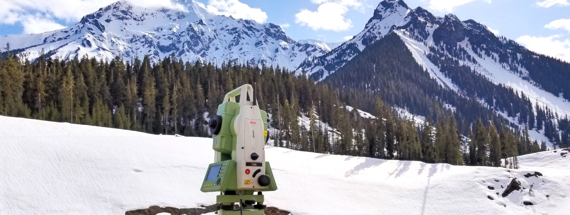
Meadow Lake Right-of-Way
Retained by BC Hydro, our team undertook the surveying of a substantial right-of-way project for a transmission line traversing the rural Cariboo Plateau, situated to the west of 70 Mile House. Spanning an expansive distance of over 40 kilometers, the project demanded the application of various surveying techniques to ensure accuracy and precision.
Notably, the project involved the establishment of over 600 survey monuments to demarcate the right-of-way, alongside the restoration and renewal of over 50 historical survey monuments dating back to 1900.
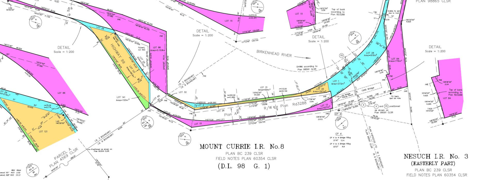
Mount Currie IR 8 and Nesuch IR 3
We were retained by the Ministry of Transportation and Infrastructure to re-establish the boundary limits of a road that was surveyed in 1948 with no monuments set in the ground. This road is now part of Highway 99 which has been upgraded and moved in several places. Complicating matters was a non-legal, unregistered survey plan purporting to show the location of the original survey. This plan was in error but was used in a Supreme Court case to remove a blockade of the Highway and resume certain parcels by Order in Council. 180 lots were surveyed to describe areas to be returned and new areas to be acquired for the corridor to contain the existing Highway 99. Photogrammetric methods using 1949 air photos were used to establish the centerline of the original survey. In this rare circumstance, permission was given to produce the legal plan with colors to clarify the purpose of each lot created. For his efforts in determining a solution for this very complicated puzzle, Doug Dodge, BCLS, CLS was presented with the David Thompson National Geomatics Award for challenging cadastral survey projects by the Association of Canada Lands Surveyors in 2015.
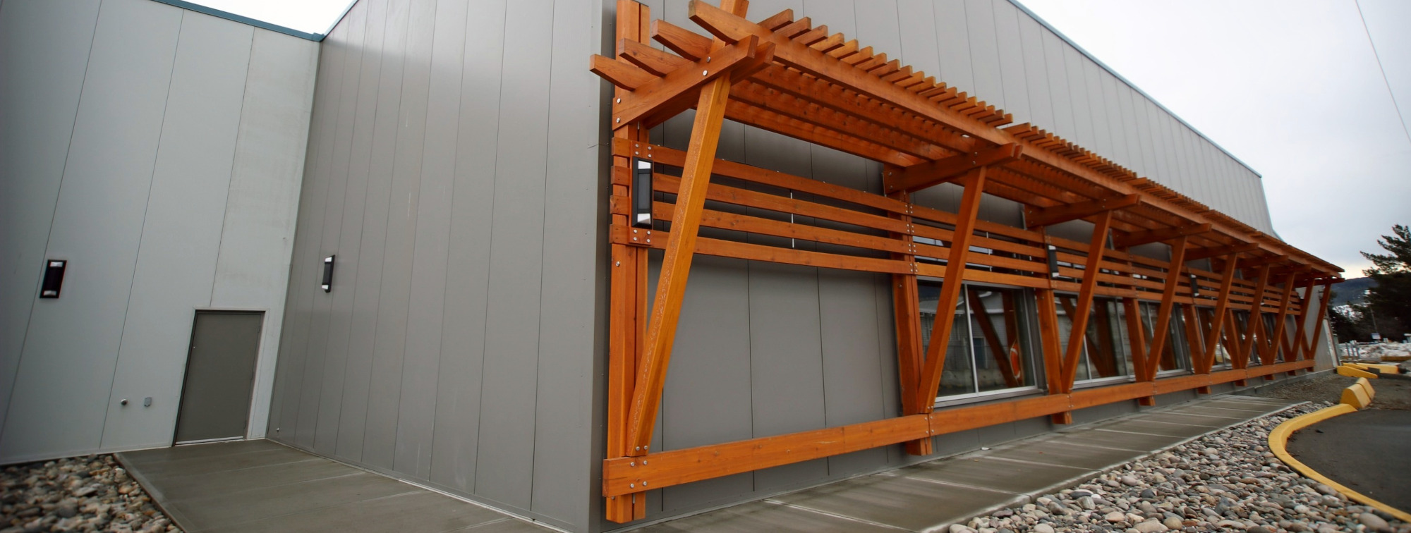
West Fraser Aquatic Centre
Exton and Dodge provided a variety of services throughout the construction of the West Fraser Aquatic Centre upgrade. Surveying an extensive addition to fit an existing building presented many challenges. Pre-construction we re-established property lines, prepared topographic plans from which engineers could design from, and created control networks. While patrons were doing their morning laps, we were adjacent to the pool taking measurements to existing building foundation and support beams required by structural engineers and architects. When construction began, we provided the layout for the new building addition, parking lot and underground civil infrastructure. With the pool and building complete, our final task was to measure the length of each lane in the lap pool, thus certifying it for competition.
